
Istanbul metro map: a simple map and line guide for visitors
Istanbul metro map for visitors
Swipe to explore the map.
Lines on this map
| Line | Type | Route |
|---|---|---|
| T1 | Tram | Kabataş – Bağcılar |
| T5 | Tram | Eminönü – Alibeyköy Cep Otogarı |
| M1A | Metro | Yenikapı – Atatürk Havalimanı |
| M1B | Metro | Yenikapı – Kirazlı |
| M2 | Metro | Yenikapı – Hacıosman |
| M4 | Metro | Kadıköy – Sabiha Gökçen Havalimanı |
| M5 | Metro | Üsküdar – Sultanbeyli |
| M11 | Metro | Gayrettepe – İstanbul Havalimanı – Halkalı |
| Marmaray | Commuter rail | Halkalı – Gebze |
| F1 | Funicular | Kabataş – Taksim |
| TF2 | Cable car | Eyüp – Piyer Loti |
Key facts
| Sultanahmet’s line | T1 tram (Kabataş – Bağcılar) · Sultanahmet and Gülhane stops |
|---|---|
| Nearest metro connections | Sirkeci (Marmaray, 2 stops) · Vezneciler (M2, 5–10 min walk from Beyazıt) |
| Istanbul Airport (IST) | M11 metro · change to M2 at Gayrettepe |
| Sabiha Gökçen (SAW) | M4 metro · change to Marmaray at Ayrılık Çeşmesi |
| Europe – Asia crossing | Marmaray (under the Bosphorus) or ferry |
| Payment | Istanbulkart or contactless bank card; no cash |
Which lines matter for visitors?
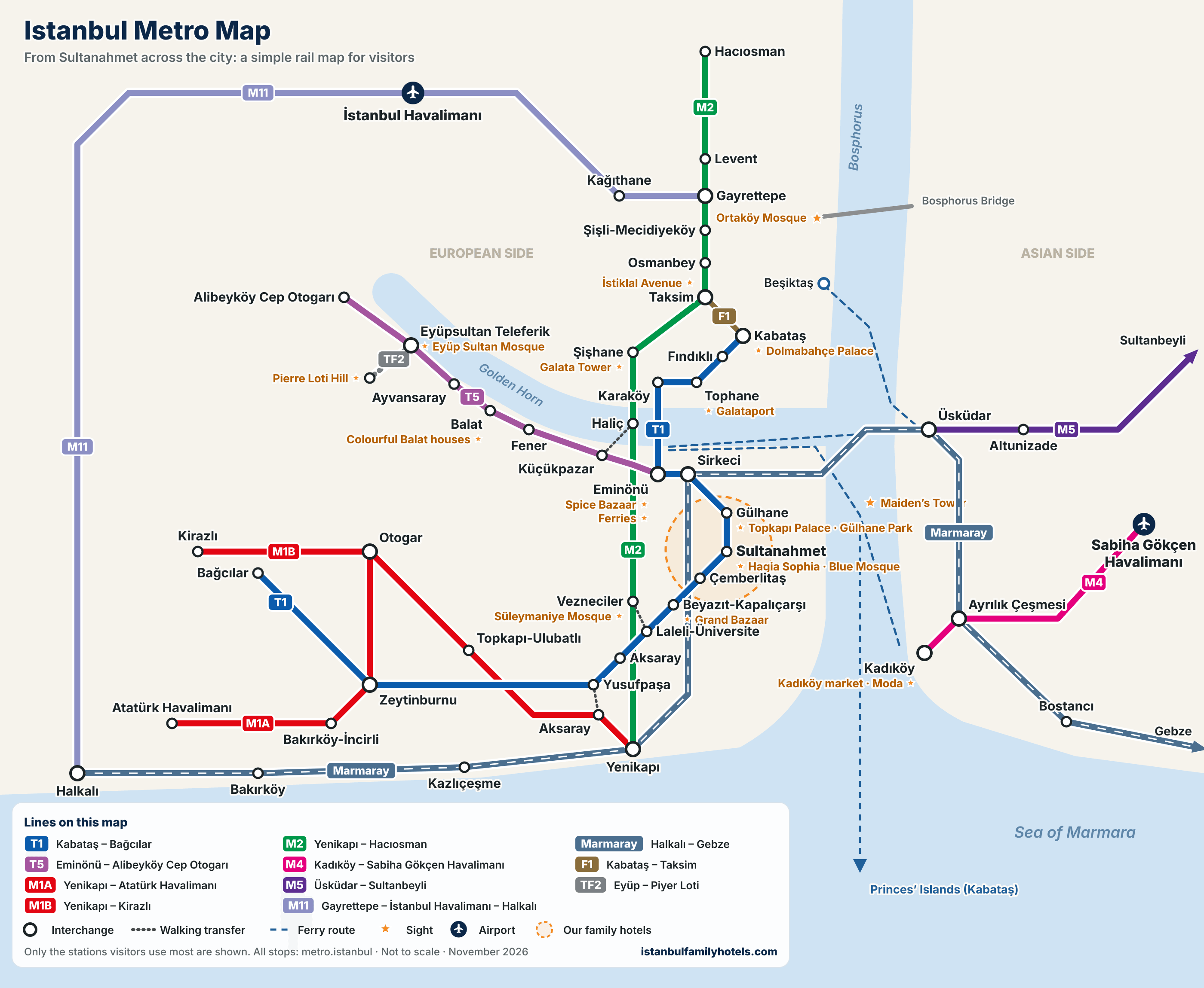
Istanbul’s rail network is huge, but only a handful of lines are useful to a visitor. Our map shows just those, plus the stations closest to the sights:
- T1 tram (Kabataş – Bağcılar): Sultanahmet’s line. The Grand Bazaar (Beyazıt-Kapalıçarşı), the Spice Bazaar and ferries (Eminönü), Karaköy, Galataport (Tophane), and Dolmabahçe Palace and the island ferries (Kabataş) are all on it.
- M2 metro (Yenikapı – Hacıosman): Vezneciler near Süleymaniye, Şişhane near Galata Tower and the lower end of İstiklal Avenue, Taksim, and Gayrettepe for the M11.
- Marmaray (Halkalı – Gebze): runs from Sirkeci under the Bosphorus to Üsküdar in about 4 minutes; change to the M4 at Ayrılık Çeşmesi.
- M11 (Gayrettepe – Istanbul Airport – Halkalı): the Istanbul Airport metro.
- M4 (Kadıköy – Sabiha Gökçen Airport): the main Asian-side line and the Sabiha Gökçen metro.
- F1 funicular (Kabataş – Taksim): about 3 minutes up to Taksim Square.
- T5 tram and TF2 cable car: from Eminönü along the Golden Horn to Balat, Fener and Eyüp; from Eyüp by cable car up to Pierre Loti Hill.
- M1A / M1B: from Aksaray to the main intercity bus terminal (Otogar).
How do you get from Sultanahmet to the metro?
There is no metro station in Sultanahmet; the area’s rail link is the T1 tram. Change from the T1 to the metro and commuter lines at these stops:
- Sirkeci: Marmaray (towards Üsküdar, Ayrılık Çeşmesi and Sabiha Gökçen). The platforms are deep, so allow a few minutes on the escalators.
- Beyazıt-Kapalıçarşı: a 5–10 minute walk to the M2 at Vezneciler (towards Taksim, Gayrettepe and Istanbul Airport).
- Kabataş: F1 funicular to Taksim.
- Yusufpaşa: a few minutes’ walk to the M1 at Aksaray (bus terminal).
- Eminönü: T5 tram (Balat, Eyüp) and the ferries.
Step-by-step routes to Taksim, Galata, Kadıköy, Eyüp and both airports are in our guide getting around Istanbul from Sultanahmet.
Where is the official Istanbul metro map?
The official network map with every station and the lines under construction is on the “Network Maps” page of Metro Istanbul, the Istanbul Metropolitan Municipality’s rail operator. Metro Istanbul holds the copyright, so we link to it rather than copy it. The map above is a simplified diagram we drew ourselves, focused on the lines visitors actually use; the colours are there to tell the lines apart.
Marmaray is run by TCDD Taşımacılık; check its website for timetables, and Şehir Hatları for ferry times. Up-to-date line maps are also posted in stations and on trains.
How do you pay on the metro?
Turnstiles take an Istanbulkart or a contactless bank card; no cash. The Istanbulkart is sold and topped up at machines in stations, and one card can be tapped separately for several people, while a contactless bank card covers one passenger each. With an Istanbulkart, transfers are discounted. See our guide to the Istanbulkart and the T1 tram for details.
Tips for the metro with kids and a stroller
- Avoid rush hour: on weekdays between 07:00–10:00 and 17:00–20:00 trains are packed.
- Find the lift first: most stations have one, but sometimes only at one entrance, and it may be out of service; allow extra time at deep stations (Sirkeci Marmaray, Şişhane).
- The T1 is low-floor: easy to board with a stroller; use the space by the doors.
- Mind the gap: hold small children’s hands when getting on and off.
- Walk short distances: most Sultanahmet sights are 5–15 minutes apart; see our Sultanahmet sightseeing map.
Can I download and use this map?
Yes. Use the button under the map to download it as a PNG, save it on your phone or print it; personal use is free. If you would like to use it on a website or in a post, a link back to this page is all we ask. We update the map when lines change; the date is printed under it.
Family hotels within walking distance of the T1 tram
-
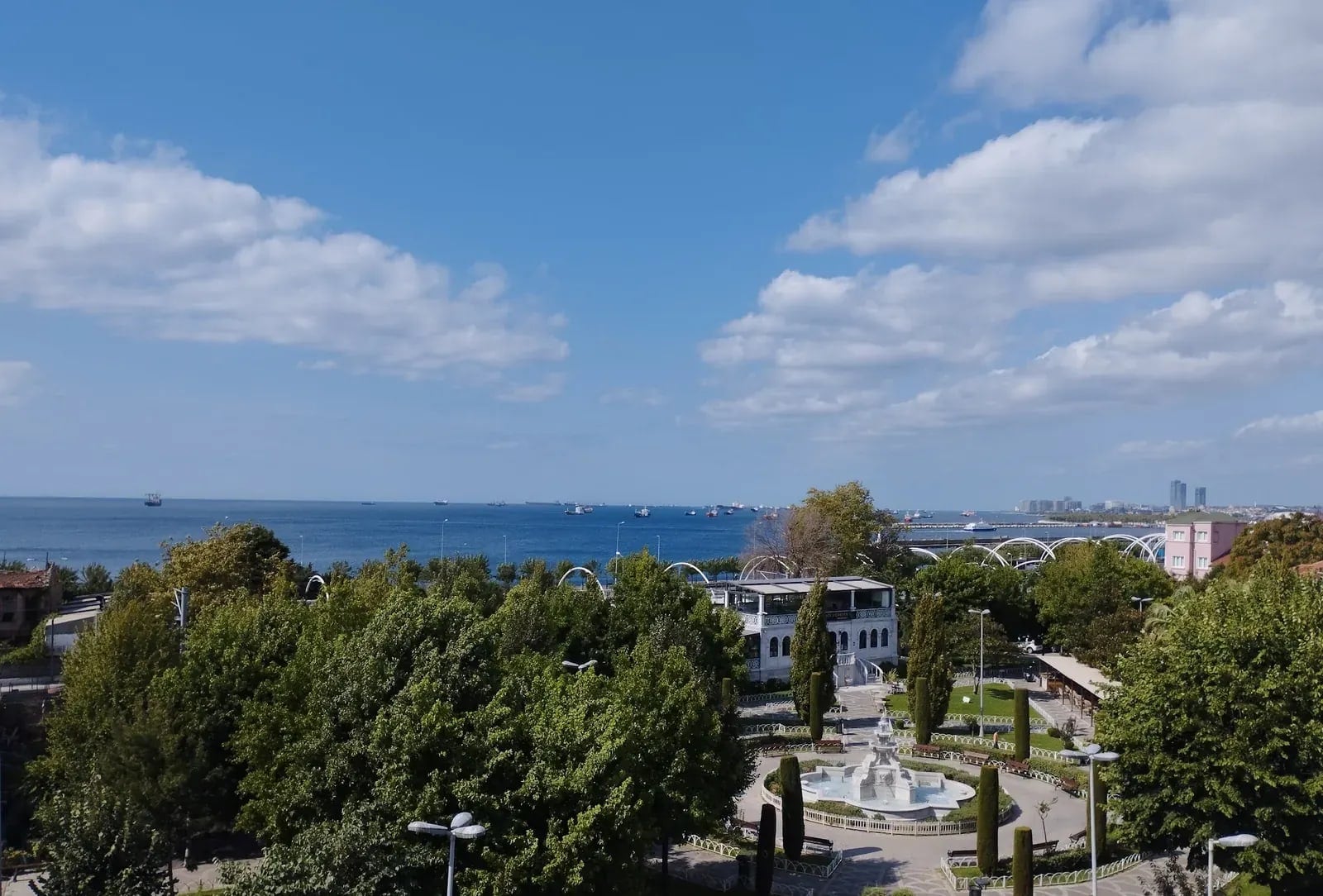
Sareban Hotel
An alcohol-free family hotel in Küçük Ayasofya, looking out to the Marmara
- Alcohol-free hotel (incl. minibars)
- Triple family room
- Baby cot and extra bed (on request)
-
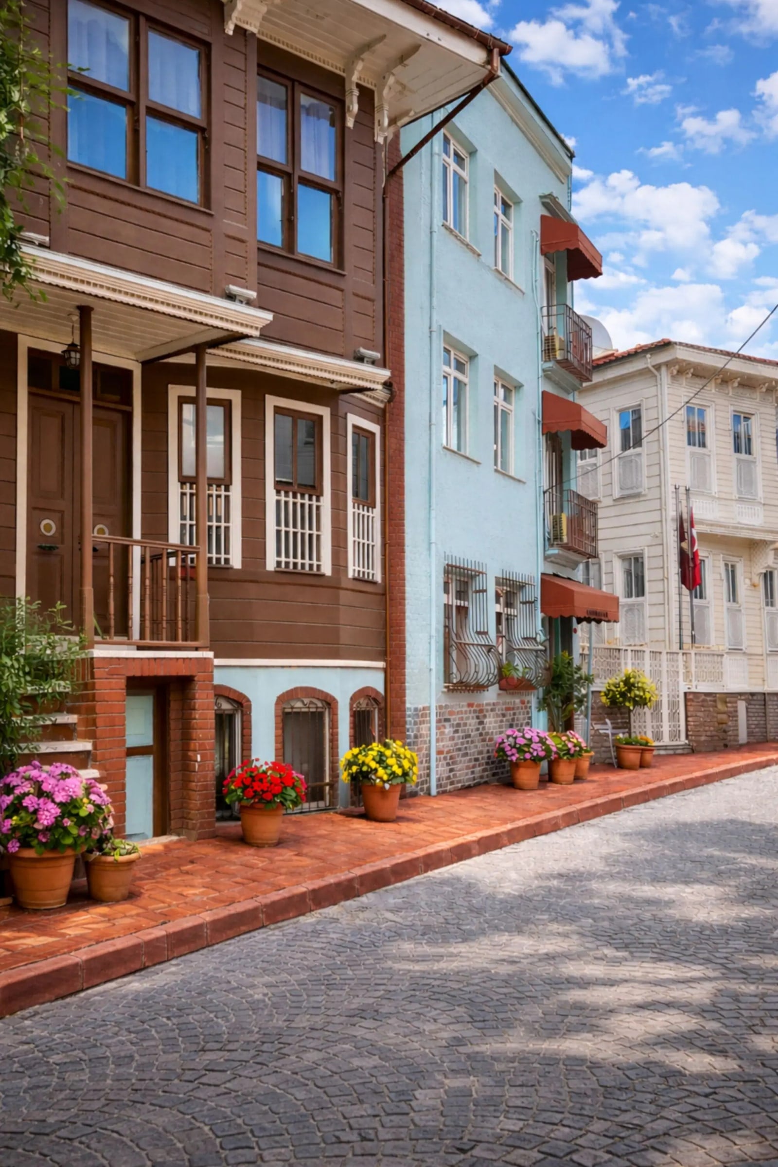
Emirhan Inn Hotel
A budget-friendly hotel with free breakfast in Küçük Ayasofya
- Breakfast included
- Family suite with kitchenette
- Triple room
-
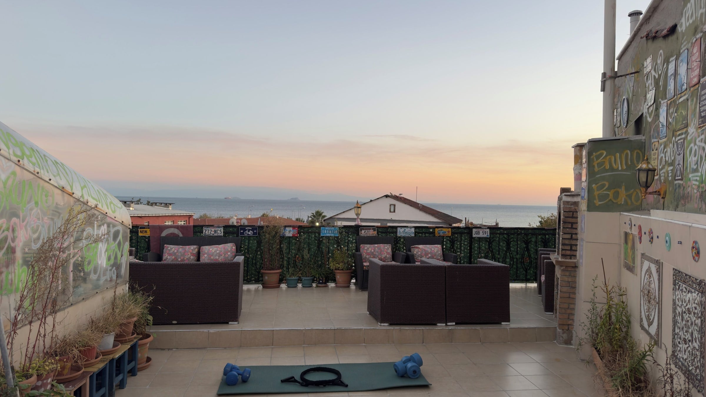
Green Life Apart Hotel
Family-run apartments with kitchenettes and a sea-view roof terrace in Küçük Ayasofya
- Kitchenette in every apartment
- Apartments for three
- Sea-view roof terrace
-
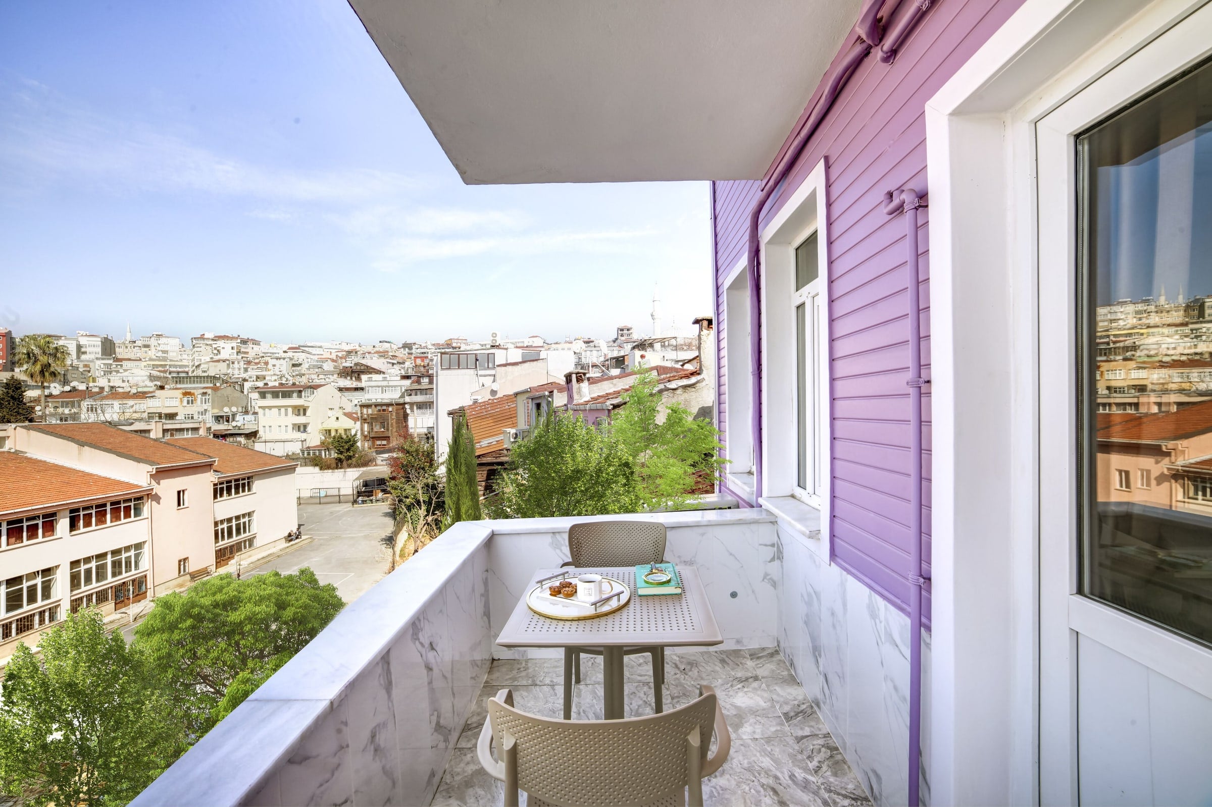
Seven Roses Apart Hotel
Apartments with kitchens in Küçük Ayasofya, with roomy options for larger families
- Kitchen in every unit (hob, fridge, kettle)
- Two-bedroom family apartments (up to 6 guests)
- One-bedroom apartments with a separate bedroom
Frequently asked questions
What is the nearest metro station to Sultanahmet?
There is no metro station in Sultanahmet; the area is served by the T1 tram stops Sultanahmet and Gülhane. The nearest metro connections are Sirkeci (Marmaray), two T1 stops away, and Vezneciler (M2), a 5–10 minute walk from the Beyazıt-Kapalıçarşı tram stop.
Can I take the metro from Istanbul Airport to Sultanahmet?
Yes: take the M11 to Gayrettepe and the M2 to Vezneciler, walk to Beyazıt-Kapalıçarşı and ride the T1 two stops to Sultanahmet. With changes it takes about 1.5 hours; with luggage the Havaist bus or a transfer is easier.
How do I get from Sultanahmet to Taksim by metro?
Take the T1 tram to the last stop, Kabataş, and ride the F1 funicular from the same station up to Taksim. It takes about 25–35 minutes in total.
Where can I download the official Istanbul metro map?
From the Network Maps page on Metro Istanbul’s website. Metro Istanbul holds the copyright, so we link to it; the simple map on this page is our own drawing and can be downloaded as a PNG.
Is Marmaray a metro?
Marmaray is a commuter railway between Halkalı and Gebze that crosses under the Bosphorus between Sirkeci and Üsküdar. You pay at the turnstiles with an Istanbulkart or a contactless card, just like the metro.